
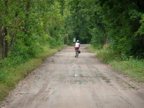
The shore roads of the island are excellent for cycling; they are mostly shaded and there are a number in interesting stops along the way and the vehicular traffic tends to be light. Without stopping one could do the trip in two hours or less, or take the day and see all the sights! The trip, of course, could be done in either direction. To facilitate that, directions are given in compass points vs. right/left.
From the ferry terminal going north: pass through the Pelee Island settlement with the township office, OPP, medical clinic and a few shops: ice cream, gifts, bike rentals and repair, and restaurants—Westview Tavern and Stone House 1891 Restaurant—plus Pelee Adventures, tours and golf car + e-bike rentals; and the Pelee Island Bird Observation Visitors’ Centre, then go along the west shore through farms, passing by West Pump, one of three pumping stations that keeps the interior of the island dry. The interior was formerly a large marsh and when the lake level is high, the interior land is below lake level. Continuing north, the road turns to the east and soon arrives at the intersection with Sheridan Pt. Road and The Dog and Goat Restaurant. At this intersection consider a diversion to go to Sheridan Point: see the ruins of the original winery Vin Villa (tours available through Pelee Adventures), and then down to the lake edge and an old quarry. Along this road one passes some significant rare trees on alvar conditions (thin soil over limestone): Blue Ash and Kentucky Coffee Tree.

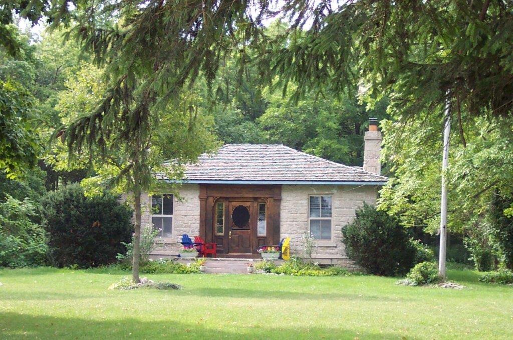
Continue along the north shore, going by Canada’s most southern public school and a heritage church. Continuing down the road is one of Pelee’s oldest stone houses, the Alexander McCormick house (1843-45), of the founding McCormick family, now the Barefoot Cottage. Further along is Scudder, one of the original settlement areas, home to the marina, the Co-op (fuel, groceries and hardware), and an ice cream and sandwich shop (Scudder Beach Breakfast Bar, The Shacks, The Filling Station). Just beyond the marina is North Pump, and more houses and cottages, including another original house, the Fox log house, built 1832-34. Follow the road south and then turn left at the quarry and continue going east. Past the quarry you will soon come to the provincial Lighthouse Point Nature Reserve, along this road is an alvar woodland worth exploring another time, for its giant Blue Ash, Chinquapin Oak, and a diversity of alvar shrubs and wildflowers; trails have yet to be established here. Near the east end of the road is a cycling/hiking trail going south. One could take this (see trail 2), or continue to shady East Shore Road. At that point, one could take a diversion to the lighthouse (see trail 1) or continue south. Along this section one sees cottages to the shore side and a deep canal on much of the interior side.
Shortly one comes to Middle Point, a complex of properties acquired by the Nature Conservancy of Canada, including a restored field (see trail 2) that is worth a visit. Continue going south, coming to East Park Campgrounds and a sandy beach (good for a swim break if a hot day!). At the end of East Shore turn west and continue along East-West Road, soon going by the Wandering Dog Inn. Shortly beyond this is Stone Road, home of the significant Stone Road Alvar complex, owned and managed by three conservation organizations. At this point one could take a short return to the west shore along East-West Road, or with the time and energy, going south on Stone Road is highly recommended.
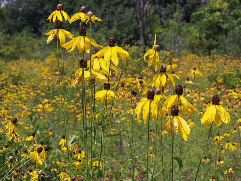
Stone Road Alvar is worth a separate trip, (see trail 3) However, cycling down the road one can still see a lot! The alvar to the northwest and central-west is owned and managed by Ontario Nature, to the northeast and southwest, by the Nature Conservancy of Canada, and to the southeast, by the Essex Region Conservation Authority. Cycling down the road slowly will give you a good overview and allow you to see a diversity of wildflowers, alvar trees, butterflies and birds….and possibly a snake crossing the road!
Turn west and continue along South Bay Road. There are places along this road where one can access the shore with its expanses of flat rock and cobble beach berms. Look southwest and see Middle Island, a nature reserve of Point Pelee National Park, and the very southernmost part of Canada; the international border is just to the south.

After a stretch of open road one comes to Stewart Road. To maximize your cycling experience and see Fish Point, turn south and follow the road around. (If it’s time to return, then go north and connect with East-West Road and then turn west to reach your starting point.)
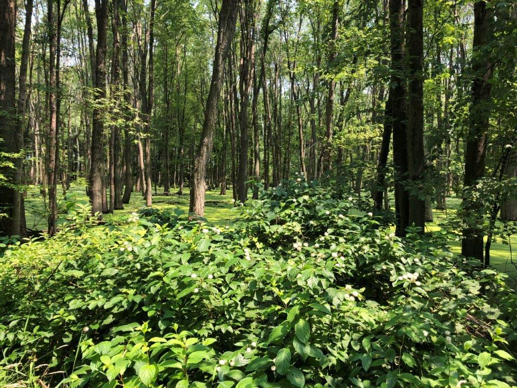
Going south and then following the road to the west, one is soon at Fish Point. This is worth a special return trip, (see trail 4). However, on the road one sees the top of Fish Point and the expansive Mosquito Point Swamp; while its name sounds like a place to stay clear of, actually it is a fascinating habitat, often under water in the spring, with giant soft maples, cottonwoods, occasional Pin Oaks, thickets of Spicebush and even a few endangered Red Mulberries! The threatened Blandings Turtle makes its home here, as well as a number of birds, migratory and resident (e.g., the endangered Prothonotary Warbler). After passing through the swamp one is soon back to the starting point – the west dock ferry terminal.
We hope you enjoyed your Tour of Pelee Island!
